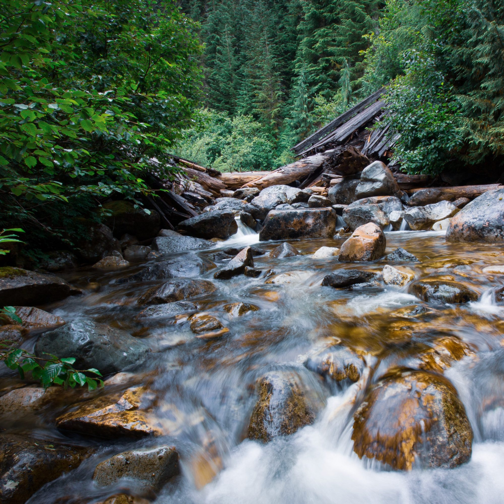
 As climate change affects Northwest streams, there is an increasing need for integrated data and modeling efforts that can help managers understand how streams are changing and what this means for the native fish species that depend on them.
Integrating data on streamflow, stream temperature and species distribution is needed for developing models that inform species climate vulnerability assessments. These kinds of efforts require access to streamflow data, which can be a challenge, since there is limited inter-agency sharing of streamflow data and a lack of uniform standards for collecting and managing data. Researchers funded by the NW CASC are working collaboratively to address the need for integrated stream and species data and better streamflow data accessibility by conducting a modeling effort to assess the vulnerability of at-risk fish species and developing a catalog of existing streamflow data from across the Northwest.
As climate changes in the Northwest, stream temperatures will warm and some streams may even dry up. More winter precipitation falling as rain and earlier spring snow melt mean that more water is entering our streams in the winter and spring months, leaving less snow to melt and support our streams throughout the warm and dry summer months. These changes may threaten vital habitat for fish and other species as well as our municipal and agricultural water supply.
Assessing fish vulnerability to climate change
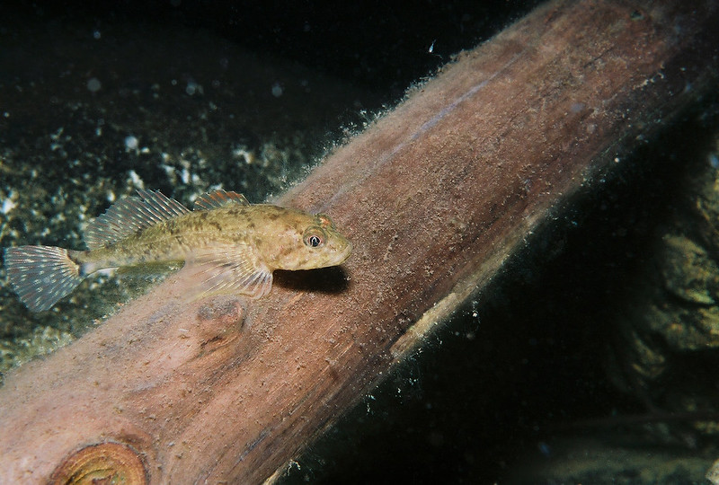
NW CASC researchers are undertaking a modeling effort that integrates modeled streamflow and stream temperature data, observed species-specific biological data, and technical expertise to conduct a vulnerability assessment for a group of Northwest fish species that may be sensitive to climate-induced temperature and stream water changes. It will focus on often-overlooked warm-water fish species, like sculpin and dace, whose climate vulnerability is largely unknown relative to cold-water salmon species.
This component of the project will not only produce valuable information to guide fish conservation measures, but is also an example of how diverse datasets can be integrated into modeling efforts to provide a more holistic understanding of species’ climate vulnerability. The streamflow data catalog is a mechanism to strengthen these integrated models in the future.
Assembling the streamflow data puzzle
Many agencies and organizations in the Northwest collect streamflow data for various purposes, though much of it is stored in different places and can be difficult to access. There is limited inter-agency sharing of streamflow data and a lack of uniform standards for collecting and managing data, creating barriers to water management and aquatic species conservation. Scientists sometimes think of streamflow data as puzzle pieces strewn around a house. In order to reveal the puzzle’s picture or identify which pieces are still missing, the pieces must be gathered up and fit together. NW CASC researchers are currently working on assembling a puzzle of streamflow data in the Northwest. In collaboration with Northwest water managers, they are setting out to compile existing, observed, streamflow data collected outside of the US Geological Service into a catalog showing when, how and why streamflow has been measured across the Northwest.
Understanding the big picture of existing streamflow data in the Northwest can make it easier to build regional-scale models for stream management applications. Knowledge of data gaps can enable managers to advocate for funding and direct limited resources to fill in these gaps. Ultimately, this data catalog will not only provide a better understanding of the data available for resource management and modeling efforts, but can identify a path towards improving open-access water data infrastructure in the Northwest.
Working in collaboration to collect and align data
Both components of this project are highly collaborative, leveraging the expertise of five US Geological Survey and US Forest Service research groups and two universities. They involve partners from the Bureau of Reclamation, Washington Department of Ecology, Idaho Department of Water Resources, the Oregon Department of Fish and Wildlife and the US Fish and Wildlife Service, among others.

The climate vulnerability component of the project requires close collaboration with resource managers, since it is combining data about in-stream conditions and biological data with expertise from fish biologists to produce fine-scale vulnerability assessments at geographic scales relevant to management decisions. Researchers have combined modeled outputs from PROSPER, a USGS model that predicts stream drying, NorWeST, which provides water temperature estimates, and modeled data of monthly streamflow estimates, which they’ll release later this summer. The interaction of these three factors (stream drying, temperature and flow) will give researchers a holistic view of in-stream conditions. These data will then be combined with occurrences of native fish species to develop the climate vulnerability assessment. Finally, the researchers have assembled a group of fish biologists from different agencies and organizations across Washington, Oregon, and Idaho, who will participate in a series of workshops to evaluate different fish species’ sensitivity to cope with different in-stream scenarios.
In the first stages of the streamflow catalog project, NW CASC researchers met with partners to develop a survey, which is still open, to identify who collects streamflow data across the Northwest and what kind of data (record length, purpose etc.) they’re collecting. So far, researchers have found an immense amount of streamflow data outside of the USGS, including the Oregon Water Resource Department’s extensive streamflow dataset.
They’ve also found other groups across the country who are thinking similarly about consolidating streamflow data and improving water data infrastructure. Learning about these other efforts, including the Internet of Water and the Water Data Exchange, has helped NW CASC researchers identify important metadata and standardize vocabulary for their own research. The large-scale interest in water data infrastructure highlights the growing recognition for increased access to and sharing of water data, while regionally focused projects ensure that needs of local stakeholders are met.
NW CASC researchers will continue to collect responses from the survey before evaluating results this fall. In addition to holding stakeholder meetings throughout this survey process, researchers will convene an in-person, roundtable meeting with stakeholders next spring to share the results of the survey, demonstrate the initial interface of the data catalog and discuss their interests and concerns around modernizing streamflow data-sharing infrastructure in the Northwest.
Data for a climate-resilient Northwest
As we grapple with climate-induced changes to Northwest streams and the risks to species that depend on them, the ability to access and integrate existing datasets will be key to more effective, timely and climate-smart decision-making. The NW CASC’s catalog of existing, public water data in the Northwest is the first step towards this improved open-access water data infrastructure. Better data accessibility will also enable more holistic approaches to understanding the sensitivity of species to climate change, like the climate vulnerability assessment produced through this project.
Does your organization collect streamflow data in Idaho, Oregon or Washington? If so, please take this survey and distribute it to your water management partners! If your organization is interested in joining the roundtable discussion, please email kendrakaiser@boisestate.edu.
